Description
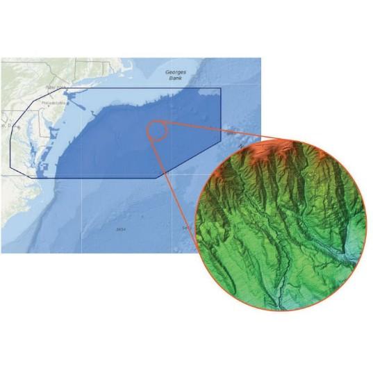
C-MAP® Reveal charts help anglers and divers save time on the water, finding key areas faster with the high definition views of structure, wrecks and contour changes on the sea floor. The high detail C-MAP® Reveal imagery replaces shaded relief data in selected areas with more accurate depth variations, revealing the best fishing and diving spots. C-MAP Reveal charts include C-MAP HRB Coastal Data, Genesis social map data and satellite imagery that can be overlaid on top of the standard vector charts used for navigation. The C-MAP Reveal layer is activated by turning on the shaded relief setting and is available for use on Lowrance®, Simrad® and B&G® chart plotters.
Additional information
| Weight | 1 lbs |
|---|---|
| Item Name | Electronic Reveal Chart |
| Manufacturer | |
| Model | M-NA-Y641-MS |
| Cartography | C-Map Max-N+ |
| Region | Long Island, Norfolk and Canyons |

